
DST News: Thailand and Cambodia’s long-running border dispute, which flared up again in mid-2025, is rooted in colonial-era maps and decades of nationalist rivalry. Despite periodic peace efforts, clashes continue along a frontier shaped more than a century ago under French colonial rule.
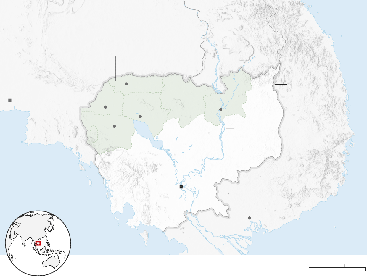
The origins of the conflict date back to the early 20th century, when Cambodia was part of French Indochina and Thailand was known as Siam. A series of Franco-Siamese treaties in 1904 and 1907 shifted the border northward, significantly expanding Cambodia’s territory. As a result, several ancient Khmer temples ended up near or directly on the modern frontier.
Disagreements persist because the treaties relied on natural features such as watershed lines, while later French-produced maps placed some temples clearly inside Cambodian territory. Both countries now cite different historical documents to support their claims.
At the centre of the dispute is the 11th-century Preah Vihear temple, which the International Court of Justice ruled in 1962 belonged to Cambodia. However, the court did not clearly define ownership of the surrounding land, leaving room for continued contention. Two other temples, Ta Moan Thom and Ta Khwai, are also disputed.
Historians argue that the conflict is driven as much by politics and nationalism as by geography. Competing claims over shared cultural heritage and a long-standing “sibling rivalry” between the two neighbours continue to turn ancient temples and old maps into modern flashpoints.
Source: The Guardian